The Royal Canal Way
| County: Dublin, Kildare, Meath, Longford, Westmeath | Category: Walking/Hiking Trails | Type: National Waymarked Trail | |
| Length (Kms): 144 | Climb (m): Minimal | Grade: Easy | Format: Linear |
| Estimated time to complete entire trail: 6 days | Quality:** | ||
| Start point: Spencer Dock, Dublin | Start point grid ref:
O 168 356 / N 063 757
|
||
| Finish point: Cloondara, Co. Longford | Finish point grid ref: 53.35712, -6.24501 / 53.73118, -7.90495 | ||
| Nearest town to start: Dublin | Ordnance Survey map: OSI Discovery Series Sheet 41, 48* (*ca 1.3km on canal bank), 49 and 50 | ||
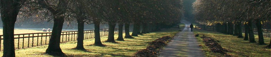
| Description of Trail:Work began on the construction of the 146 km long Royal Canal, to connect Ireland’s capital city, Dublin, with the upper River Shannon in 1790, and the canal was completed in 1817. It operated in competition with the Grand Canal which ran an almost parallel route never more than 30 km to the south, and with the Grand, was made redundant by the advent of the railways in the mid-19th century. The canal was officially closed to all navigation in 1961, but like the Grand Canal, much of the Royal has been restored in recent decades, and the Royal Canal Way currently follows grassy towpaths, gravel and sometimes tarmac canal-side roads from the Dublin suburb of Ashtown 105 kilometres to the village of Abbeyshrule in County Longford. Some sections of tow path can be muddy. Further restoration will take the navigable canal and the walking route all the way to the Shannon. There is a good range of options for overnight accommodation along most of the route: it is, however, relatively easy to walk some sections and return to your starting point by public transport. Apart from the glorious, linear cordon of unspoilt countryside the route provides, there are a number of significant examples of late-eighteenth century industrial archaeology to admire along the way, including the Ryewater Aquaduct which takes the canal high over the Rye river, and which took six years to build. | |||