[mapsmarker marker=”18″]
Leaving 15th Lock the canal and the road come together again as they approach Kilcock, here it opens out into a fine harbour. Shaw’s Bridge and 16th Lock (double) are immediately above the harbour. Then, skirting the town which is almost hidden from view by trees, the canal passes through a most attractive stretch to Allen Bridge, known locally as Spin Bridge. From here is a stretch of 2.5 km to 17th Lock, Fern’s or Ferran’s Lock (double), the start of the 32 km Long Level to Thomastown.
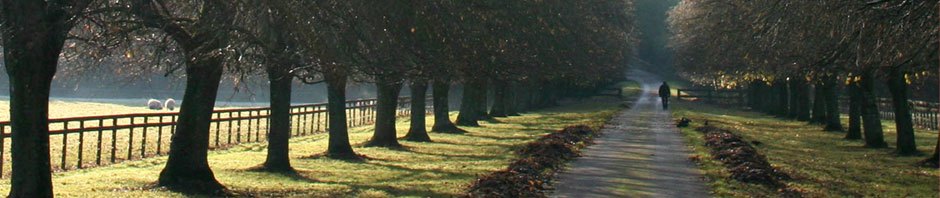
Following restoration, the towpath is now located on the south bank.
With the canal completed to Kilcock and some boats in operation by 1796, the company had to seek further aid from parliament to continue the works. This aid was granted reluctantly in the form of a debenture loan of £25,000 because it was felt that this was the only way to safeguard the interests of the many small shareholders who had invested in the company. The company in turn had to agree to complete the canal to the end of the Long Level at Thomastown without seeking further aid.
The Kilcock Branch of the RCAG was formed in 1982. Marvellous work was done in the ensuing months and in less than a year the appearance of the canal through Kilcock was transformed. Situated beside a main road, Kilcock Harbour inevitably became the group’s showpiece. The opening of the new bypass has restored some peace and calm to the town and added enormously to the amenity potential of the harbour area.
Bus Eireann Information [Kilcock, The Square 103421] (Route 115/115A)