The Barrow Way
| County: Carlow, Kildare, Laois | Category: Walking/Hiking Trails | Type: National Waymarked Trail | |
| Length (Kms): 100.00 | Climb (m): 1370 | Grade: Easy | Format: Linear |
| Estimated time to complete entire trail: 5 days | Quality:** | ||
| Start point: Robertstown | Start point grid ref: N 790 250 | ||
| Finish point: St. Mullins | Finish point grid ref: S 728 378 | ||
| Nearest town to start: Robertstown | Ordnance Survey map: OSI Discovery Series Sheets 49, 55, 61 and 68 | ||
|
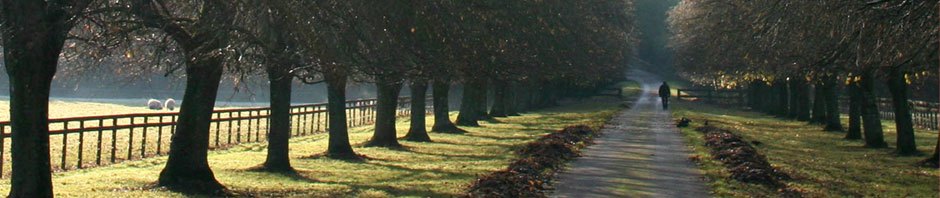
Description of Trail:The River Barrow vies with one of its sister rivers, the Suir, as the second longest river in Ireland. It rises in the Slieve Bloom Mountains in the southern midlands, and flows to join its two ‘sisters’, the Nore and the Suir, before flowing into the Celtic Sea at Waterford Harbour. The Barrow was made navigable in the eighteenth century by the insertion of short sections of canal along its course, and the 114km long Barrow Way follows surviving towpaths and riverside roads from the canal hamlet of Lowtown in County Kildare to the beautiful monastic site and village of St Mullins in south County Carlow. It is a peaceful route through a quiet sylvan landscape, with the constantly expanding river, growing more majestic every mile, for company. Terrain consists mainly of grassy towpaths, tracks and quiet roads. Overnight accommodation options are good: the route is frequently punctuated with villages and towns, many of which were founded at fording places by the Normans soon after the invasion. Among the interesting places the route passes through and walkers might wish to linger a while are the towns of Rathangan with its great hosting place, and Athy and Carlow. Borris in South County Carlow is a fine place that grew up around Borris House, the homeplace of the McMurrough Kavanagh clan, and Graiguenamanagh, a quaint old monastic town where a book festival is held every year, is Ireland’s Hay-on-Wye.
Click Here for a Barrow Way Overview Map.
Click Here for our Barrow Way Daily Stages.
|
|||